Guayadeque
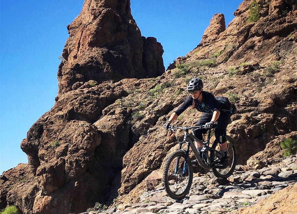
Actually, make sure you do look down / Image courtesy of Gran Canaria Mountain Bike
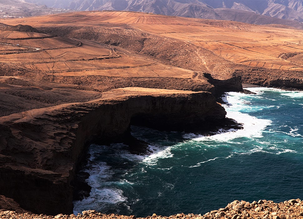
Half the beauty of the 15km Guayadeque trail is the evolving terrain, which encompasses lunar-like plateaus, high-altitude pine forests and volcanic peaks before thundering down to a protected nature reserve and trailing the seafront. It’s a technically challenging single track, starting near Tejeda at almost 2,000m amid prickly pear cacti, and flowing down to the coast near Maspalomas.
Meloneras to Agüimes
La Sorrueda's palm-lined reservoir
This 87km route has it all: archaeological ruins, sea views, ravines and sand tracks – combined with several gruelling inclines and some paved descents. The trail starts from the resort of Meloneras and then loops inland through the white town of Fataga, with its palms and terracotta roofs. A dogleg back towards the coast takes cyclists whizzing past the important La Sorrueda reservoir and surrounding biosphere reserve and on to the fort of Ansite, by which point you’ll be gasping for sea breezes back on the southeast coast near Agüimes.
Camino de La Plata
Explosive cycling across the roof of the island / Image courtesy of Gran Canaria Mountain Bike
Pico de las Nieves, Gran Canaria’s highest peak at 1,950m, is the starting point for this difficult bike ride across the roof of the island. The indigenous people of Gran Canaria forged the web of trails up here long before the Spanish conquest, and today they form both a mountain-biking haven and a hiking circuit. Technical and demanding, the camino opens up hidden nooks and crannies of Gran Canaria’s interior volcanic footprint that are otherwise almost impossible to access. Various routes means a variety of track lengths depending on your nerve/fancy.
Inagua hills
The ochre outcrops of Inagua / Image: 123rf
The steep escarpments of Inagua are an incubator for biodiversity. Highlights of this 70km trail ride are the endemic species and sprawling stands of pine forest that characterise its steep slopes. The biking path through this protected zone is an uphill challenge, with an accumulated incline of 1,770m; at some points be prepared to carry your bike. Eventually the trail drops down into picturesque interior valleys, past dams that lead back to the coast at Arguineguín in southwest Gran Canaria.
Chira Loop
Pack all the water you can and head for this rugged expanse of island / Image courtesy of Gran Canaria Mountain Bike
Be sure to pack enough water and supplies for this remote circuit around an inner region of Gran Canaria. The focal point is Presa de Chira, one of the arid island’s many reservoirs. This 23km loop provides a giddy birds-eye view of the water from a gravel path across the knobbly ravines that surround it. As long as you’re self-sufficient and come prepared, the path is suitable for most riders. Access is from San Bartolomé de Tirajana.
Ruta Jacobea
The lookout point at Pinos de Gáldar / Image: Adobe Stock
As much a cultural tour as a feat of endurance, the ‘Way of St James’ is a long-distance ride mapped to a Gran Canaria pilgrimage trail. From Santiago de Tunte in the island’s interior to Santiago de Galdar on the northern coast, the 84km trail’s main touchpoints are villages and churches, linked together for the most part by roads rather than dirt tracks. A highlight is the Pinos de Gáldar lookout point, from where riders get a gaping view of the northern portion of the island.
Veneguera to Playa de Veneguera
The wild surrounds of Veneguera Village / Image: Alamy
The quiet, protected ravine of Veneguera marks the starting point for this short ride to the coast and back. The old village here – home to just 150 inhabitants – is surrounded by wild olive and juniper trees, palm groves and fruit crops, and barricaded with spires of cacti. The 8km dirt track leads along the bed of Veneguera Ravine to a petite beach; you return the same way, back to the village.
Gáldar to Agaete
A stretch of swooning coastline between Gáldar and Agaete / Image: 123rf
Beyond Las Palmas, northern Gran Canaria is less populated by tourists. One particularly lovely biking option is the long route from Gáldar to Agaete, mapped by Local Guide Gran Canaria (which also sells cheap, useful GPS maps). Skirting the northern coast rather than taking the inland road, it passes villages such as El Agujero and Sardina del Norte with small beaches for rest stops. The route creates a 34km return loop with Agaete as the halfway point.
Need a ride?
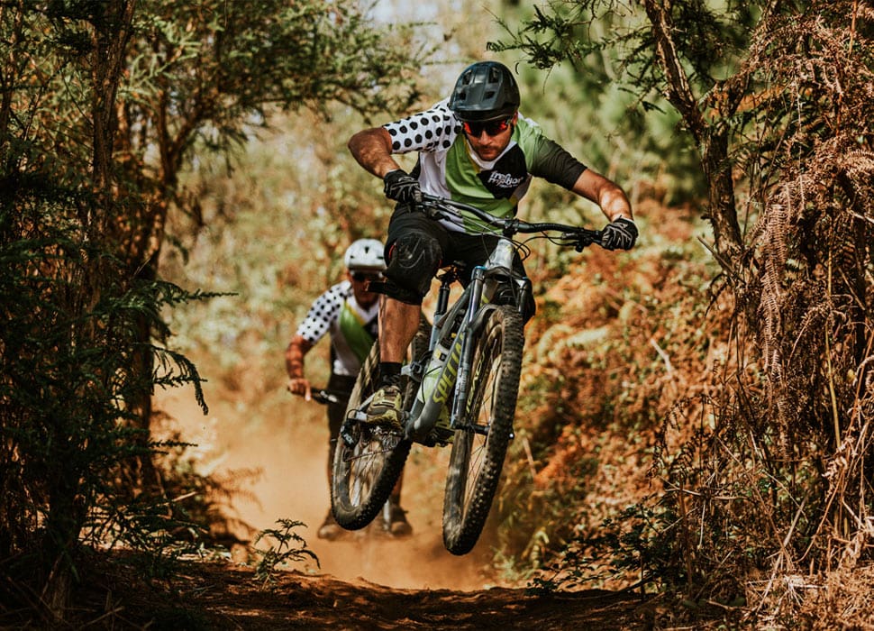
Biking with Free Motion / Image courtesy of Free Motion
Mountain biking companies in Gran Canaria can rent out top-quality bikes, arrange trailhead shuttles and put together organised tours ranging from a couple of hours to full-day jaunts for all levels of ability.
Gran Canaria Mountain Bike has a vast selection of customisable tours and a free downloadable trail guide, and runs a multiday mountain biking camp.
Cycle Gran Canaria rents out the latest model bikes and e-bikes with Bosch and Yamaha motors (book ahead), as well as offering tours.
Free Motion runs mountain-biking tours at either intermediate or advanced level and has lots of group trip options.


